
The Aotea Bird Count is an annual five-minute bird count to measure forest bird abundance on Aotea. We are most interested in kākā, kererū, tūī and kākāriki - these are either key species in Aotea forests and/or good indicators of rat density. Better data about the presence of birds will help make better decisions on how to protect them. Is all the trapping working? What else is affecting bird numbers? How are forest birds doing?
2026 will be the eighth year of the count. Around 60 volunteers take part every year, without their support we would not have been able to gather the important data analysed in the reports for each year - read the full reports below.


Early in the morning on count days, volunteers split into groups across the island, Tryphena and Windy Hill in the south to Te Paparahi, Rakitu and Motairehe in the north, from the head of the Wairahi River in the west to Awana and Harataonga in the east. Five-minute bird counts are completed twice at five sample points on a transect (line) at each location across the motu.
These systematic counts make it possible to compare Aotea bird densities with other places across Aotearoa. An annual count is also part of good conservation management. Windy Hill, Glenfern and other projects have been doing this - some for many years - but there hasn’t been a picture of the whole island.
To find out more, or to volunteer, email: contact.gbiet@gmail.com
The Aotea Bird Count is made possible thanks to AOTEA GREAT BARRIER LOCAL BOARD, AUCKLAND COUNCIL, Windy Hill Sanctuary, Glenfern Sanctuary, MOTU KAIKŌURA, DOC, TŪ MAI TAONGA and Ngāti Rehua-Ngātiwai ki Aotea.
Full reports:
In 2020, John Ogden also prepared a report comparing the ABC 2019 results and the 2006-7 GBICT counts and 2018 Windy Hill data for Aotea Great Barrier Environmental Trust. This report can be found here.
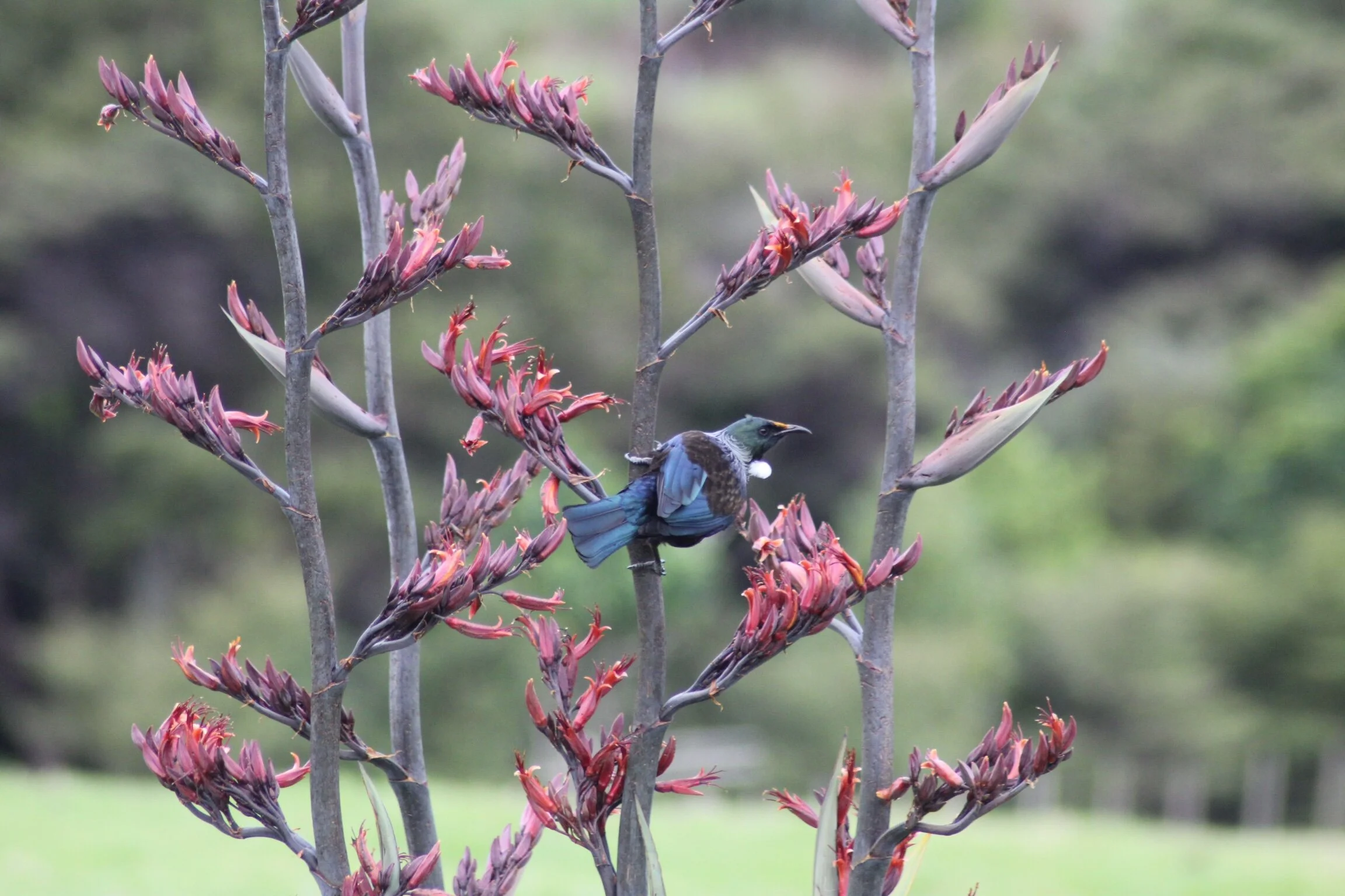
Tūī (Photo: Emma Waterhouse)